March 31, 2013
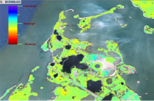
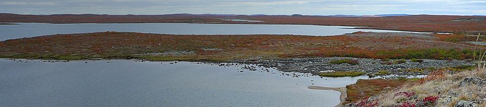
The GNWT has utilized satelite imaging to map the permafrost distribution within four permafrost rich communities; Inuvik, Tuktoyaktuk, Fort Simpson and Norman Wells. By providing these communities with maps of their permafrost impacted terrain, the GNWT can assist our communities in making more informed decisions in regards to community planning.
Click here for Information Note
ISSN:
2291-3409
Territory: